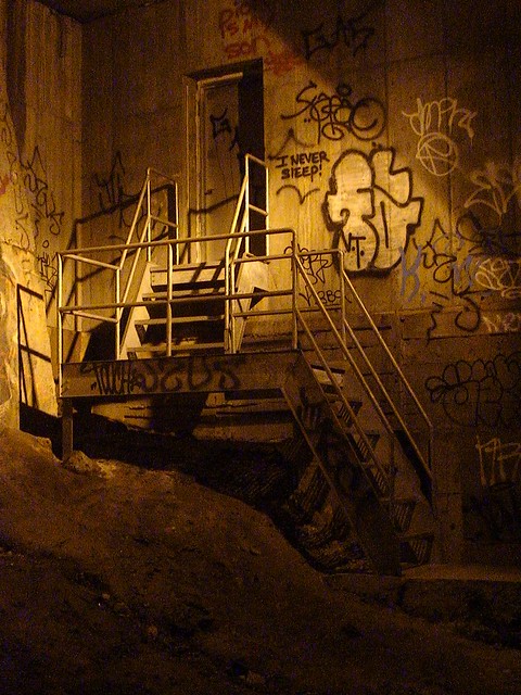
The tunnel branches off into two from 70th to 60th (again, approximate values); one that the trains pass through and another one which is rail-free. This rail-less tunnel cuts near to the basements of various buildings, most notably the Trump Towers, underneath which a single camera of questionable competence lies. Both tunnels are adorned with lights that give off a strange glow.


I used to never pass the Sniper's Alley that lay beyond 60th street for fear of being spotted. As I showed a friend around the 10 block stretch of the double tunnel, I began to turn back and head for home. But this wasn't life affirming. There was more mystery to be uncovered beyond those stretches which I had already seen. As daylight reduced to dark blue ambiance, I made the decision that tonight would be my time to explore the West Side Stitch.
Now the issue with exploring tunnels is that they get very dark, and at night you are stumbling through pitch darkness, tripping over rails and electrical boxes as you make your way across. While I wished I was armed with a flashlight to circumvent these obstacles, I managed to use the light glow from my camcorder to navigate through the tunnel.
Fortunately, the pitch blackness of the tunnels was quelled with a few sparse yellow and white lights that skirt around the area. The Stitch has several patches which let out into open air and overlook the large residential buildings of Manhattan. Looking up at them from an underground position, it becomes clear why these buildings are known as skyscrapers. Then, after a patch of open air, it's back into the dusty tunnels, where a quality of eerie beauty lingers.


There are no murals here; only some well constructed graffiti pieces and hastily scrawled tags. The real exploration of the tunnel stems from the several nooks and crannies which exist there: pillars and rock quarries. Ladders that lead up out into open air. Excellent hiding places from the bright glow and loud rumble of the train.


Once more the pyramid imparts sage wisdom onto me as it did during the last visit, this time asking, "What is Truth?" I ponder this, and wonder about the several rumors that surround the tunnel. The "Mole People", the homeless that exist here, still do hide out in the tunnel, as I have seen from previous visits, but there is much less of them now. In fact, nothing can contrast more starkly with the non-presence of people underneath the busy Manhattan streets than the abundance of those walking above it, oblivious to the explorers they are striding over.

However, there were two homeless people that we met along these tunnels. The first was a Hispanic who claimed to have paid Amtrak $500 to be given a key to an entrance to these tunnels. He told us that he remembered some people coming around and exploring here a few years ago, with bulky camera equipment. Sitting down on the rails, captivated by his words, he gave us the advice not to walk all the way to Penn Station and to turn back at around 38th street. He then asked us for some food, which we apologized for not having, and then walked on.
As we carried on towards Penn, a low moaning came from a makeshift house. Affirming that we were just passing through, the rambling stopped. Further down we saw another rail skimming alongside us. Out of nowhere, I pointed out, it was a third rail that had suddenly appeared. Now, if a train were to bear down, we could either take its impact or jump out of the way only to be electrocuted.
We still kept going, stopping only by a track fire that we spotted ten yards away. Captivated by the mystic dancing of the flames, and not really sure what to do in a situation like this, we turned back.
As we made our way back, we were confronted by a friendly African American homeless man who had apologized for his prior behavior, stating, "I was a little drunk". Like the previous man we encountered, he asked for food, and I was starting to see that all the homeless want in these shantytowns that they built for themselves was a little bread on their plate. They seem like calm, rational people.
I gave him the last of my water and he asked,
"Don't you guys have curfew or something?"
Consulting my phone, I conveyed,
"It's only eight o' clock." 8:00 PM in winter in New York, however, is incredibly dark.
"Oh. Well don't you get caught here."
"People still come around here?"
"Yeah, the workers...they used to... but not so much anymore. Just be careful."
With those words, we made our way back across to where we entered the Stitch.


